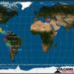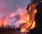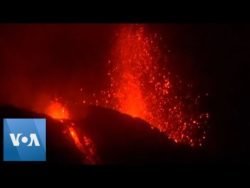
Intense Lava Eruption from Kilauea’s Lower East Rift Zone
The latest from Kilauea on Memorial Day (May 28, 2018) shows intense eruptions of lava coming from the volcano’s lower east rift zone.
Below is the updated report from the USGS:
5/28/18: Kīlauea Volcano Lower East Rift Zone
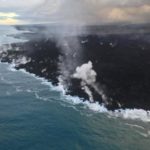
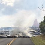
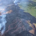
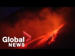
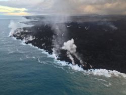
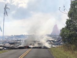
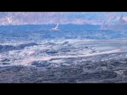
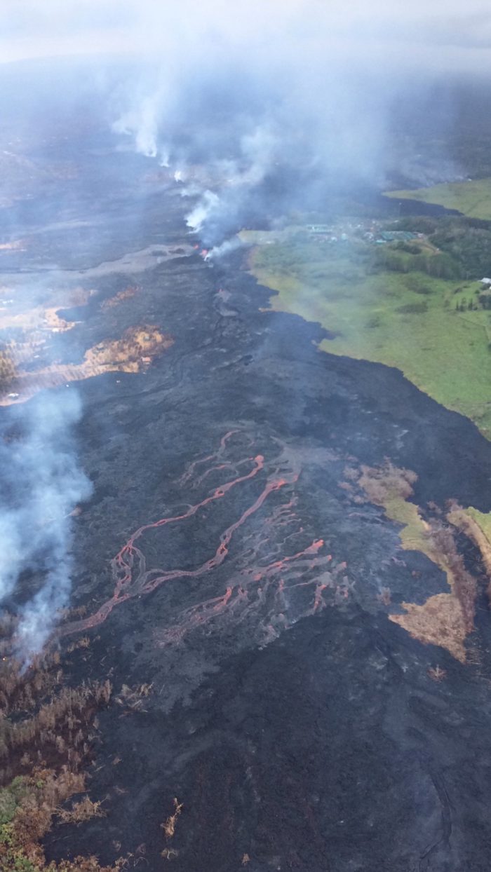
Vigorous eruption of lava continues from the lower East Rift Zone (LERZ) fissure system in the area of Leilani Estates and Lanipuna Gardens.
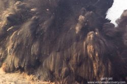
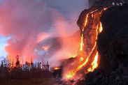
Late this afternoon, vigorous fountaining resumed at Fissure 8, spawning a fast moving flow that moved north along Luana Street. As of 10:00 PM HST the flow front had reached within 300 yards of Kahukai street. The flow is traveling an estimated 20 yards per hour to the northeast.
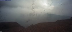
An overflight early this evening showed that Fissures 16, 18, 22,13, and 20 were active, with a flow moving south from Fissures 16/18. Pele’s hair from vigorous fountaining of Fissure 8 is being transported downwind, and there are reports of some strands falling in Pahoa.
Residents are urged to minimize exposure to Pele’s hair (volcanic glass), which can cause skin and eye irritation similar to volcanic ash.
The most recent map of lava flows can be found here: https://volcanoes.usgs.gov/volcanoes/kilauea/multimedia_maps.html
Volcanic gas emissions remain very high from the fissure eruptions. Trade winds are forecast to return in the coming days, meaning Vog (Volcanic Smog/Fog) will impact the southern and western sides of the island.
Magma continues to be supplied to the lower East Rift Zone. Earthquake locations have not moved farther down-rift in the past few days and the number of located earthquakes remains low.
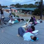
Additional ground cracking and outbreaks of lava in the area of the active fissures are possible. Residents down-slope of the region of fissures should heed all Hawaii County Civil Defense messages and warnings.
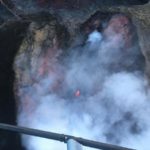
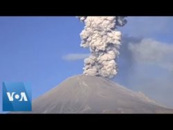
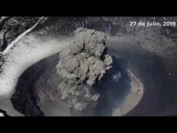
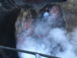
5/28/18: Kīlauea Volcano Summit
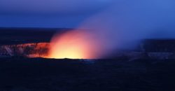
Ash continued to erupt intermittently from the vent within Halemaʻumaʻu crater, at Kīlauea’s summit. Winds have weakened and shifted in direction so that ash fall could occur in communities around the summit area.
A magnitude 4.1 earthquake occurred at 5:39 PM HST on the Koa’e fault zone south of the caldera. Earthquakes in the summit region continue as the summit area subsides and adjusts to the withdrawal of magma.
Additional explosive events that could produce minor amounts of ash fall downwind are possible at any time. Volcanic gas emissions at the summit remain high.
For forecasts of where ash would fall under forecast wind conditons, please consult the Ash3D model output here: https://volcanoes.usgs.gov/observatories/hvo/activity_2018.html
Information on ash hazards and how to prepare for ashfall maybe found here: http://www.ivhhn.org/information#ash
MORE INFORMATION
Activity Summary also available by phone: (808) 967-8862